Carnarvon Settlement Area
Carnarvon Settlement Area
Location: Intersection of Hwy 118 and Hwy 35 at Carnarvon
The Carnarvon settlement, divided as it is by the Peterson, lies half in Minden, half in Stanhope, and community buildings such as the post office, the school and church, have at various times been located in both. The first church to serve Carnarvon was the Presbyterian chapel at Twelve mile Lake. Thanks to a clause in the deed of the Andrew Brown school allowing Protestants the right to worship there, the Methodists used the log school until Zion church was erected in 1887 in Stanhope's first concession. Source: From: In Quest of Yesterday by Nila Reynolds. Published by The Provisional County of Haliburton, Minden, Ontario 1973. pg 315. Much has changed since Reynolds wrote this book in 1968.
Carnarvon today is but a crossroads of two highways straddling Algonquin Highlands and its neighbour to the south, Minden Hills. Yet beyond the stoplight and the handful of businesses is a settlement originally called Brown’s Corners where the original “union school”, Fry’s blacksmith shop and Rogers’ Store lie quietly waiting to tell their stories, where creative businesses flourish in these re-purposed buildings and where an entire generation grew up with in the shadow of the old Browndale Camp up on Cowen’s Hill.
Photo 1: Early Carnarvon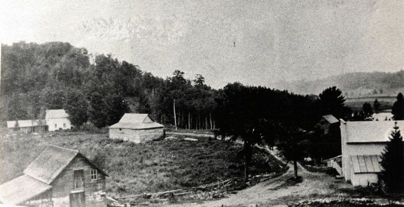
Photo 2: Early Carnarvon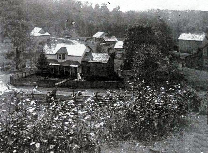
Photo 3: Carnarvon Aerial View of Mirror Lake. Source: Carol Moffatt's Postcard Collection
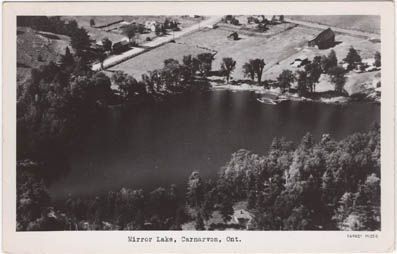
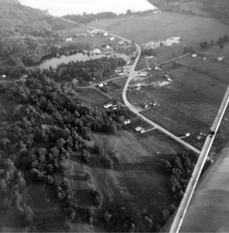
Photo 4. Carnarvon Aerial Photo 1951. Source: Sinclair Russell